
Create Your First Project
Start adding your projects to your portfolio. Click on "Manage Projects" to get started


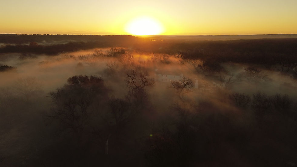
Commercial Land Aerial Photography Texas | Drone DMC
Project Type
Aerial Photography
Date
March 2026
This project was developed for a commercial real estate agent seeking a clear and compelling way to present a land opportunity using aerial imagery.
Starting with raw drone captures, Drone DMC transformed standard aerial photos into high-impact commercial land aerial photography Texas marketing visuals through a structured layering process. Each image was enhanced to highlight property boundaries, major roadways, and future infrastructure developments—creating a visual narrative that helps buyers and investors quickly understand the land’s value and positioning.
By combining clean overlays, selective color grading, and strategic labeling, the final deliverables provide a clear, professional, and investor-friendly presentation—bridging the gap between raw data and decision-making clarity.
This approach allows agents to:
Communicate location advantages instantly
Showcase future growth potential (road expansions, access points)
Present properties in a way that stands out in competitive markets
The result is a scalable visual system that turns simple drone imagery into powerful sales tools for commercial real estate.


